A Manufacturing Town
All major roads and rail-lines run through Amherst, making it a natural gateway into Nova Scotia. The town is also in the middle of a rich agricultural and coal-mining area.
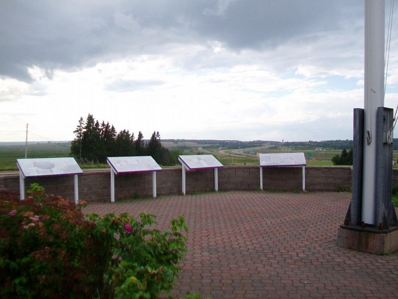
Amherst became a major manufacturing town in . . . — — Map (db m112104) HM
[Face]
The Acadian village of Beaubassin on this site was founded by settlers from Port Royal around 1672. Upon the arrival of Major Charles Lawrence with British troops in April 1750, the French authorities had the village destroyed in . . . — — Map (db m106953) HM
This area was the site of the Acadian village of Beaubassin, first known Bourgeois settlement. Raided in 1696 and again in 1703 by a force from Boston under Captain Ben Church. Occupied by French troops in 1746 who travelled on snowshoes in . . . — — Map (db m106951) HM
The First Nations
Native peoples have lived around the Chignecto Isthmus for thousands of years. Travelling in family groups and small nomadic bands, they moved from area to area harvesting seasonal food sources.
Early French explorers were . . . — — Map (db m112112) HM
Fort Lawrence
In the 18th century, the Chignecto Isthmus played an important role in the struggle between France and Britain for North American supremacy. In 1713 the Treaty of Utrecht had failed to clearly establish the border of Nova . . . — — Map (db m112110) HM
Geology
This area is located in the Carboniferous Lowlands of Nova Scotia. The underlying bedrock is sedimentary with varying proportions of sandstone and mudstone. In some areas where the bedrock has been folded, the sandstone has been . . . — — Map (db m108707) HM
Fondateur, vers 1672, de Beaubassin premier établissement dans la région de la rivière Missagouèche et initiateur de l'agriculture maraîchère en Acadie
Jacob Bourgeois arriva à Port-Royal en 1641 à titre de chirurgien pour la colonie . . . — — Map (db m107012) HM